-
 service #01
Mapping
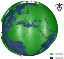
Maps elaboration (agricultural, forestry, tourist, geological, ...) and location sketches.
-
 service #02
Technical accessory
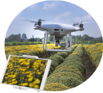
Technical advice to the agricultural, forestry, environmental and other sectors.
-
 service #03
We are point of contact
Contact point between local business and international institutions in projects related to Agriculture, GIS and Remote Sensing.
-
 service #04
Trainings
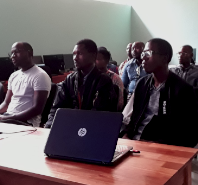
Trainings in GIS and Remote Detection - specific short and long term courses, applied to areas such as agriculture, forestry, environment, land management and others.

